Historizing GINES
Enabiling the management of mulit-temporal geodata within the Spatial Decision-Support System GINES
Description
GINES is a spatio-temporal decision-support system for planning applications. The software emerged a research project of the geoinformatics research unit that spun off in 2015 into an independent software company. In this this collaborative research project between the geoinformatics research unit and GINES GmbH, the core of the software was extended with functionality for handling and analysing multi-temporal historic vector- and attribute data. The specific results are as follows:
- The core functions of the preliminary and to be merged software RIS provided by the Federal Office for Spatial Development was successfully integrated into GINES.
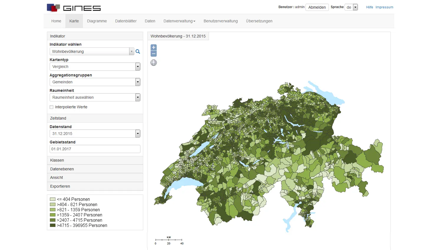
- The GINES user interface was adapted allowing for an integration of the novel multi-temporal data management and analysis capability of the underlying database.
- Novel and additional, specifically spatio-temporal query and analysis functionality was conceptualized and implemented.
Key Data
Projectlead
Project team
Project partners
GINES GmbH
Project status
completed, 04/2016 - 07/2017
Institute/Centre
Institute of Natural Resource Sciences (IUNR)
Funding partner
Bundesamt für Raumentwicklung ARE
Project budget
90'000 CHF

