Study and continuing Education in Geoinformatics
Minor Spatial Data Science
The research group Geoinformatics designs the minor Spatial Data Science in the Bachelor's program Natural Resource Sciences which is composed as follows:
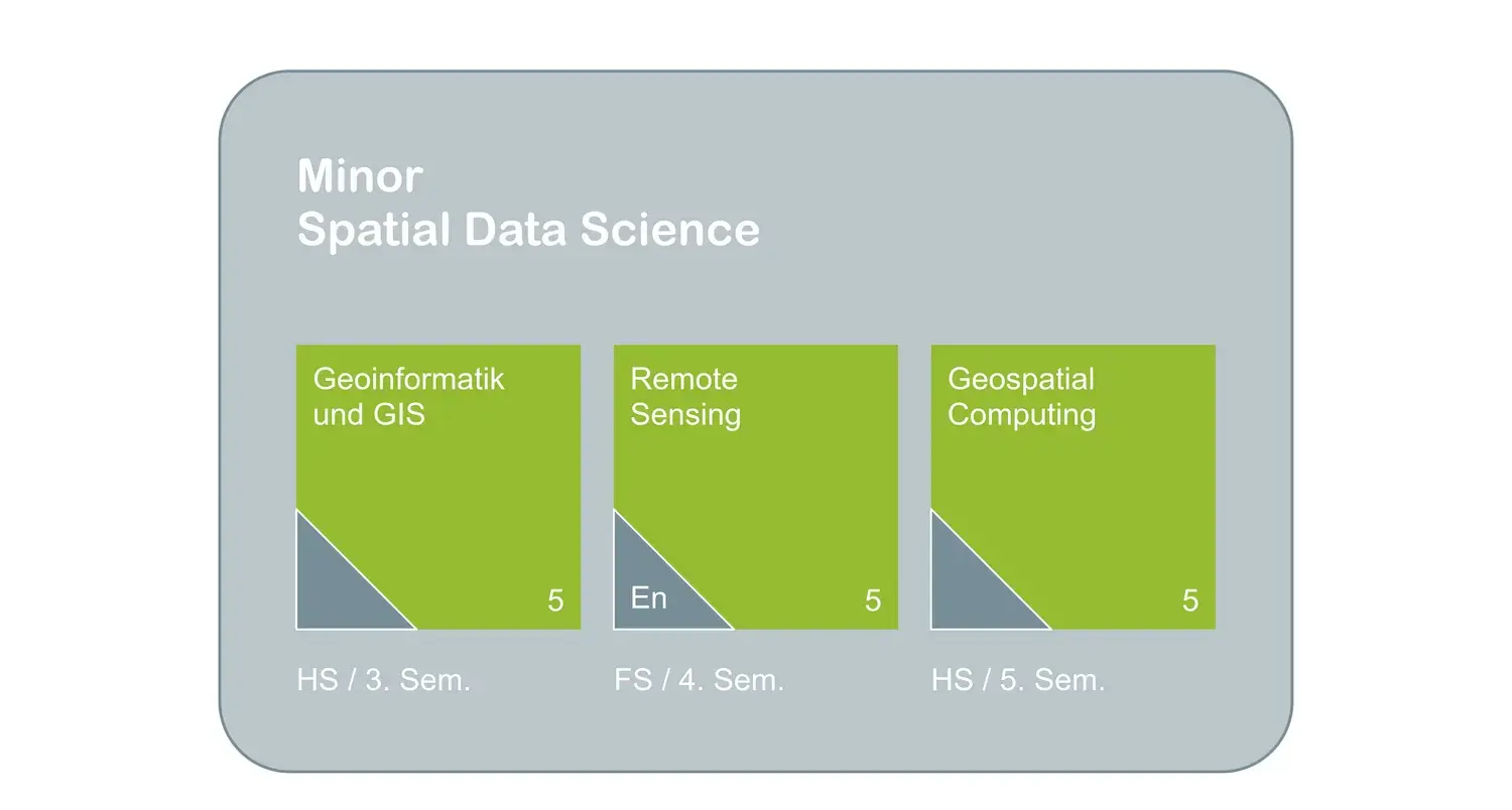
Geoinformatik und GIS
The module Geoinformatik und GIS provides a deep understanding of spatial relationships in environmental sciences. You will learn to capture, analyze and visualize geodata. Using practical examples, you will investigate spatial patterns, trends and processes in areas such as biodiversity, climate change and both urban and natural ecosystems with modern GIS tools like QGIS and ArcGIS. The module imparts essential skills in spatial data analysis to effectively use GIS in your professional life.
Remote Sensing
In today's world, satellites, airplanes and drones are more than just means of transportation – they provide us with valuable data about our planet. Remote sensing allows us to analyze this data and use it for sustainable solutions in environmental and engineering sciences. In the Remote Sensing module, students will become familiar with various remote sensing techniques in the fields of land use analysis, urban planning, natural disaster management and biodiversity research. Remote sensing data is becoming increasingly accessible and offers great future potential for environmental applications in science, administration and industry.
Geospatial Computing
Never has so much data been readily available to the public. Most of these data are geographical. The ability to access, analyze and understand these vast data sources is a crucial skill for environmental engineers. In the Geospatial Computing module, students learn to process, analyze and visualize geodata using open-source scripting languages such as R or Python. The use of these languages offers a scalable way to analyze even complex data and paves the way for big data, machine learning and AI in environmental sciences.
Bachelor’s and semester theses
We also offer semester and bachelor's theses in the field of GIS. Here are some examples of past works in our group:
Ramon Jauch, semester thesis, 2024: 3D-Mapping, Vegetationsanalyse mit lidR und Punktwolkenvisualisierung mit Potree
Robin Pfaff, semester thesis, 2023: Borneo's deforestation
Sandro Cathomen, bachelor’s thesis, 2023: Blockgletscherkinematik am Muragl Blockgletscher

‘In my role as an Innovation Engineer, skills such as automation and data modeling are essential. I also present created prototypes in a visually appealing and interactive manner to convey their benefits and functionality. I acquired the foundation of many of these skills in the GIS modules. The modules provide a comprehensive overview of the central topics of geoinformation and serve as a guide for further, in-depth expertise.’
Ueli Mauch, Innovation Engineer Geoinformatik, Amt für Raumentwicklung - Kanton Zürich
The skills acquired in the minor Spatial Data Science can help develop sustainable solutions in various fields, especially in the environmental sector.
- Environmental Planning and Management: Monitoring environmental resources, conducting environmental impact assessments, creating sustainable development plans.
- Conservation and Biodiversity: Mapping and analyzing habitats, monitoring biodiversity, planning protected areas.
- Urban and Regional Planning: Planning and managing urban and rural areas, analyzing land use patterns and infrastructure development.
- Agriculture and Resource Management: Sustainable management of forests, water bodies, and agricultural lands. Forest fire monitoring, reforestation, water management, flood protection, yield optimization, and pest control.
- Energy Transition: Planning and implementing sustainable solutions for the energy transition, e.g., site selection for photovoltaic or wind energy plants.
- Financial Industry: Sustainability and risk assessments in finance and insurance.

‘I never thought how important and useful GIS would be in my professional life. Now I work with it almost every day and I have even published maps on the Geoportal of the Canton of Zurich that are accessible to everyone.’
Max Pröschel, Amt für Abfall, Wasser, Energie und Luft - Kanton Zürich
Other modules
The research group Geoinformatics is also involved in modules of the specialization Digital Environment in the Bachelor's program Applied Digital Life Sciences at ICLS.
Module Research Methods
The module provides in-depth methodological competences for practice-oriented and applied scientific work in the field of "Environment and Natural Resources" at MSc level. Initially, this includes general, interdisciplinary methodological competences such as e.g. theory of science, computer-based data processing or statistics. In addition, the module also allows for methodological specialization with regard to a natural science or a socio-economic approach to scientific problems and issues. The methods and skills learned in lectures, seminars and practical exercises are directly applied in interdisciplinary case studies. Module description
Module Patterns and Trends in Environmental Data
How can you conceptualize and then detect patterns and trends in environmental data? In this module students practise transferable data science skills using a typical applied ecology case study: the study of people's and animal's movement behaviours in natural and built environments. This module examines typical data analysis work-flow, starting with data capture, followed by pre-processing (cleaning, filtering, aggregating, reshaping data), analytical modeling, and finally visualisation of outcomes, using the R statistics and visualization environment. Module description
Module Remote Sensing for Ecology
Ecological systems are diverse and spatially heterogeneous areas. Key research topics in these landscape mosaics include the analyses, quantification and scaling of ecological flows, land use and land cover change, relating landscape pattern analysis with ecological processes, conservation and sustainability. In this context GIS analyses in concert with remote sensing using unmanned aerial or aquatic vehicles (UAVs), autonomously or remotely operated and equipped with various sensors such as NIR (Near infra-red), TIR (Thermal infrared) or ADP (Acoustic Doppler Profiler) offer new opportunities for scale appropriate measures of ecological phenomena at high spatio-temporal resolutions. Module description
Drone Course
Drone-based Remote Sensing - Application & Analysis
Remote sensing data, which can be collected spatially and temporally flexible by means of drones, flow more and more into industrial and private applications. Being able to collect geospatial data individually and ad hoc enables novel products and insights. Drone-based technologies, applications and analyses are already widely used, but their potential is far from exhausted.
We offer a course for professionals from private offices, public administration or NGOs who are involved in the application of drones and related data in their work environment. Ambitious private individuals are also welcome.
CAS
The Geoinformatics Research Group is responsible for a number of sub-modules within the CAS in Soil Mapping and the CAS in Vegetation Analysis and Field Botany, as well as contributing to CAS courses outside ZHAW at ETH Zurich and the University of Applied Sciences Rapperswil.